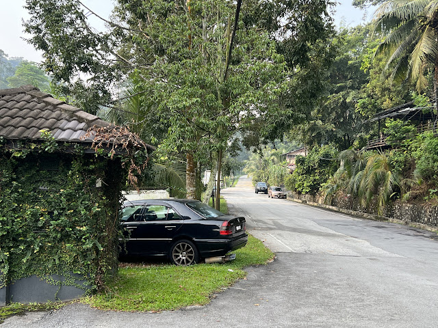
This year I have change my exercise route to Jalan Kiara 8, no longer go into jungle. As walking up along Jalan Desa Kiara to Ayuria, till Jalan Kiara 8 enough to achieve my exercise goal. Also, the 1km long Jalan Kiara is good for brisk walk or jogging. Currently only Serene Mont Kiara occupied one side (on the left) of JK8, and an upcoming project - The Minh near the entrance of JK8 is under construction. The rest of the area which used to the jungle of Bukit Kiara has become an open land for future development. There's few landed houses that form a mini kampung, with eatery and even chickens raise at the backyard. My guess that is temporarily accommodation for the foreign workers that work for the construction site of The Minh.
Anyway, few months ago I start to explore further of that open land where there's a swamp that can bee seen at the end of JK8, as well as some condo in Desa Park City. Never know DPC can be see so closely from JK8. Walk out of JK8 to the open land and up to the highest part, there's a paver road that lead downhill where the end is Jalan Palimbayan 3, Kampung Palimbayan, Sg Penchala. Some hikers told me I can go to Sri Bintang Hill or DPC from here. About 2km walk and cross thru the NKVE (beneath the highway) will reach the other side where DPC or Sri Bintang hill is. I did not go further since I am not ready or equipped to explore that far.
Then I googled, that open land is open for sale in EdgeProp. So, if that land going to build another new project, Mont Kiara will be extended to Sg.Penchala? Here's some picture I took when I first explore the land. By the way, when I walk up the slope back to where I came from, no joke! It is so steep! Reminds of me the first 0.07km of Penang Hill Jeep Trail.


